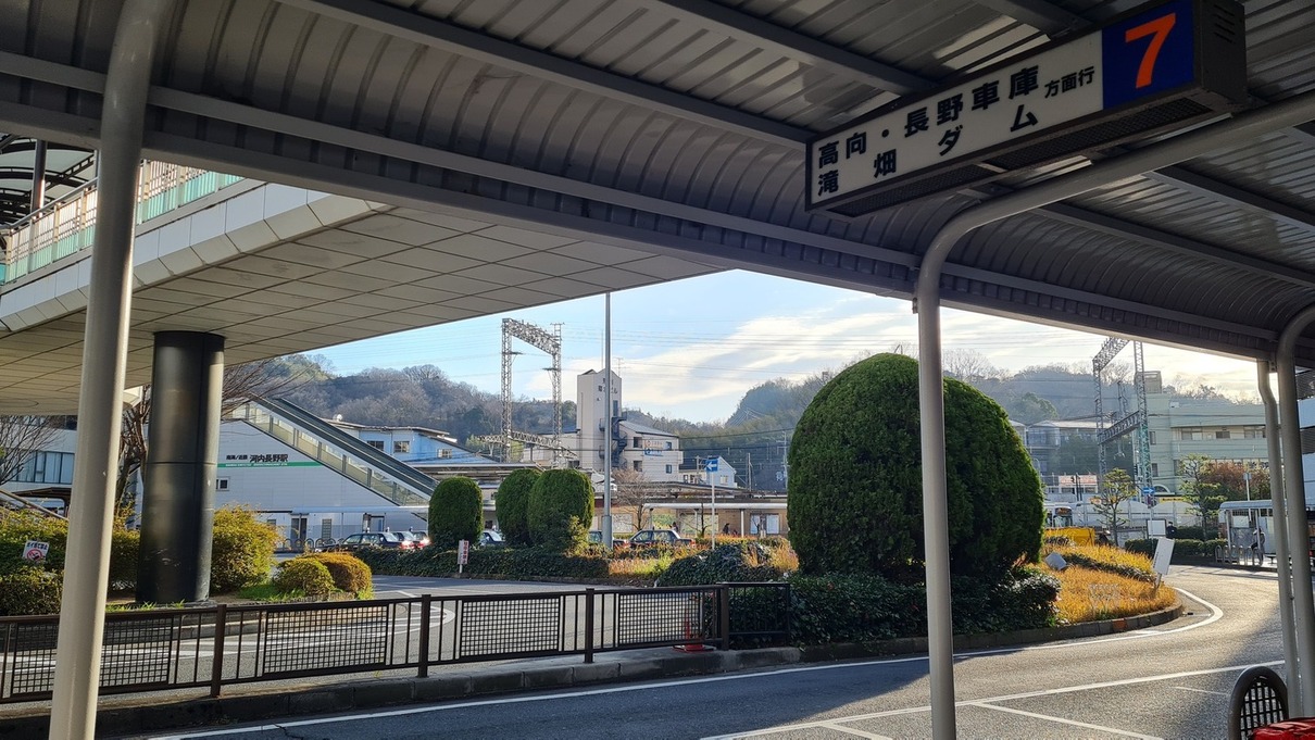
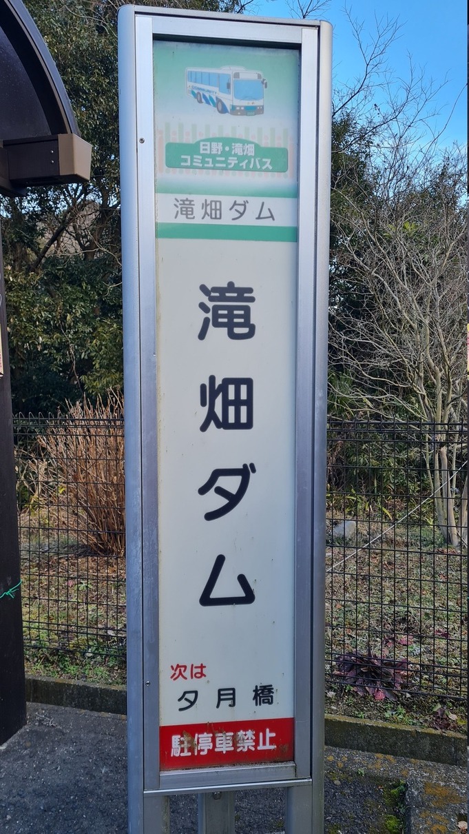
This past weekend, I went on a hike! Mt. Iwawaki (岩湧山, English site) is very close to Osaka City, near the city of Kawachinagano. From Namba Station, it’s only about a half hour to Kawachinagano Station, and another half hour via the express bus to the Takihata Dam stop, which is a couple minutes from the entrance to the Diamond Trail. It’s under ¥1000 (about US$9.50 at time of writing) total.
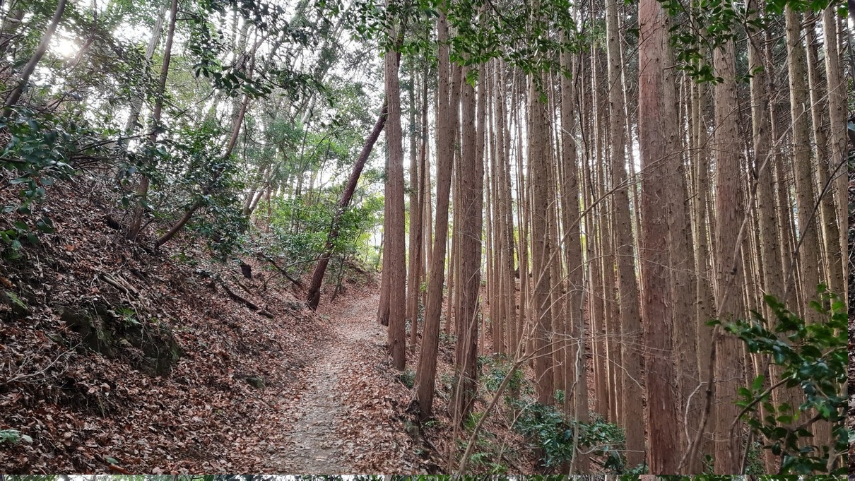
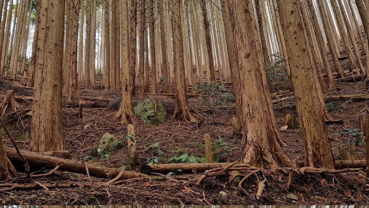
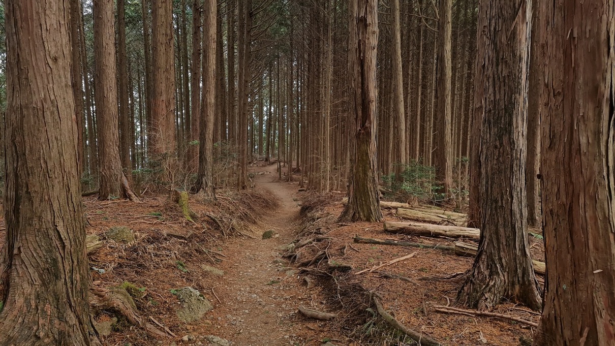
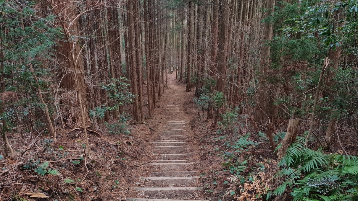
The forest around this portion of the Diamond Trail is managed, a fact that is immediately apparent by the vast stands of uniformly tall, slender cedars dotted with mouldering trunks and stumps at their feet. On one portion of the hike, I could hear the low drone of a chainsaw somewhere down the mountainside. One of my partner teachers mentioned that most mountain forests in this region of Japan are similarly managed/commercial nowadays…
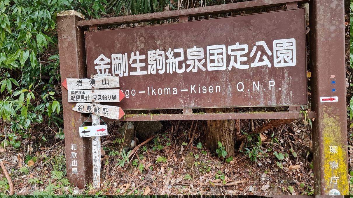
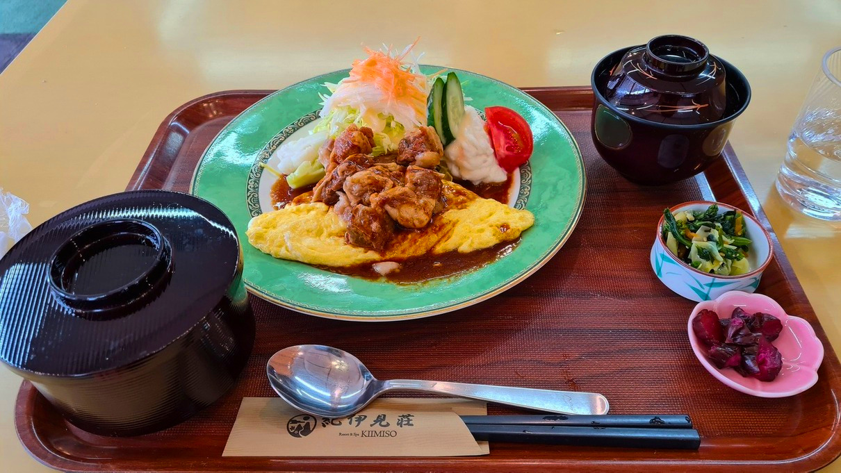
It was a nice hike, about 10km and 3.5 hours (almost 4 if you count breaks). According to my little hiking app, I got 815m of elevation. Neat! I exited near Kimitouge Station in Wakayama Prefecture, though the trail continues on from there for a few more miles. Many hikers in Japan enjoy a soak after a hike, and I am no exception. Before catching the Namba-bound train home, I stopped by the Spa & Resort Kiimiso (Japanese site) for a late lunch and a dip in the bath. It’s a quiet town and in its off season, so I was the only person in the onsen!
At bus stop #7 outside Kawachinagano Station.Takihata Dam bus stopJust off the bus!
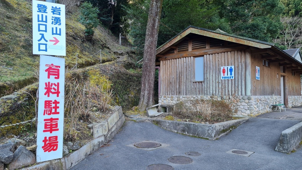
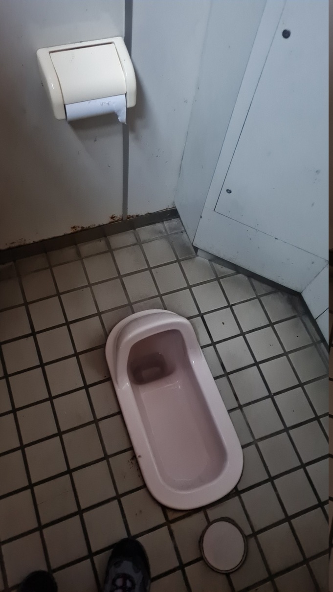
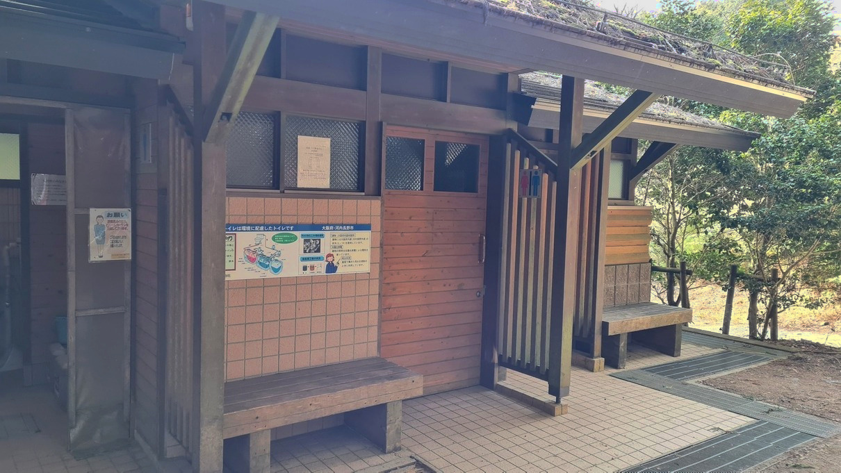
The trailhead is right next to this bathroom.Squat toilets only. Turn those glutes on!
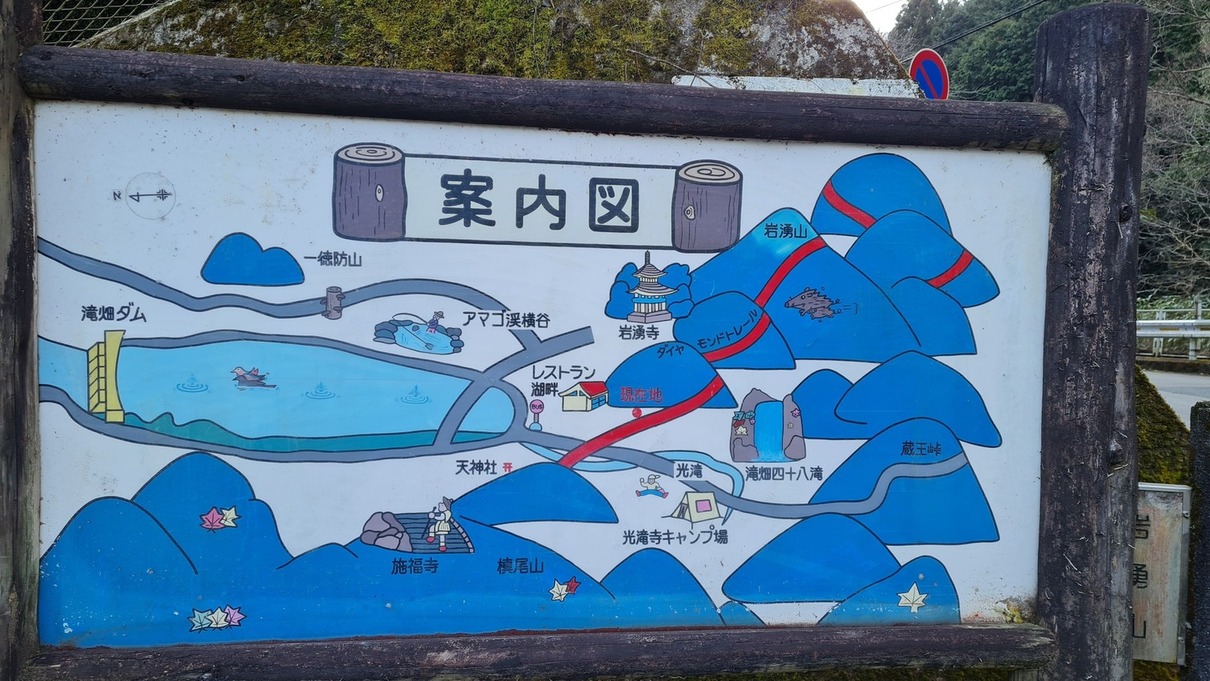
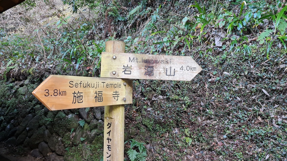
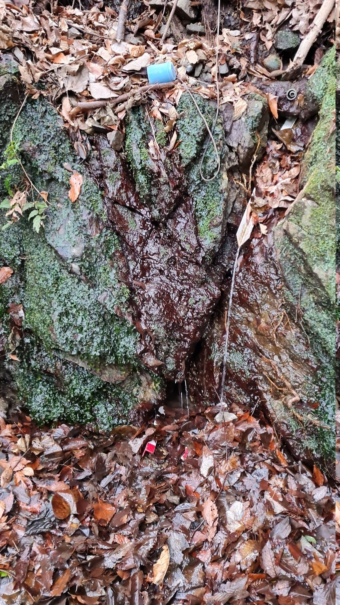
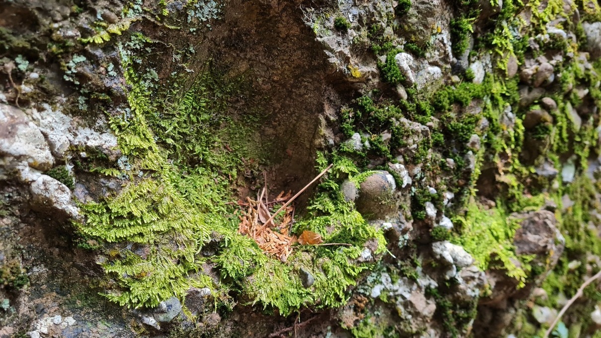
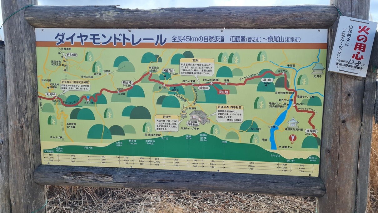
A map of the Diamond Trail (in red).This entrance is in the middle of the trail. Maybe I’ll visit Sefukuji one day.The green pall over the railing is so neat~
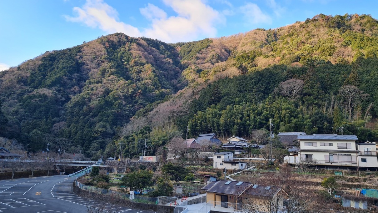
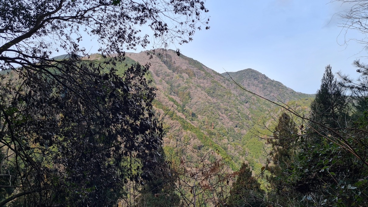
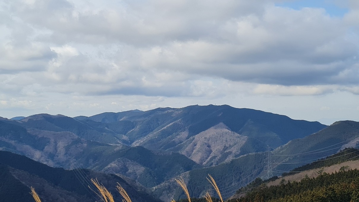
A peek at a peak!Mountain water for hikers. I already had a big bottle of corn tea, so I passed.
Like most mountain forests in Japan, this is partly managed. Just a bunch of skinny young pine trees at regular intervals in some places.Does it grow on the north side, or toward civilization…?
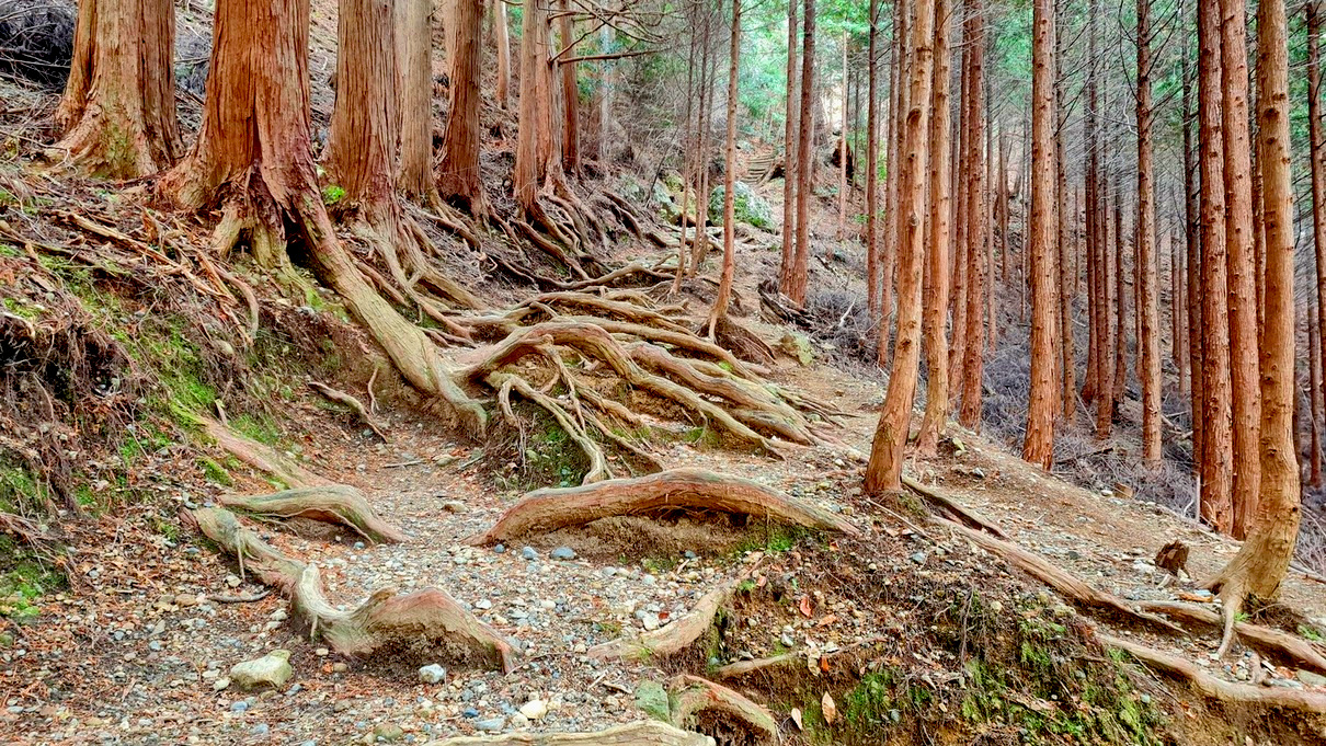
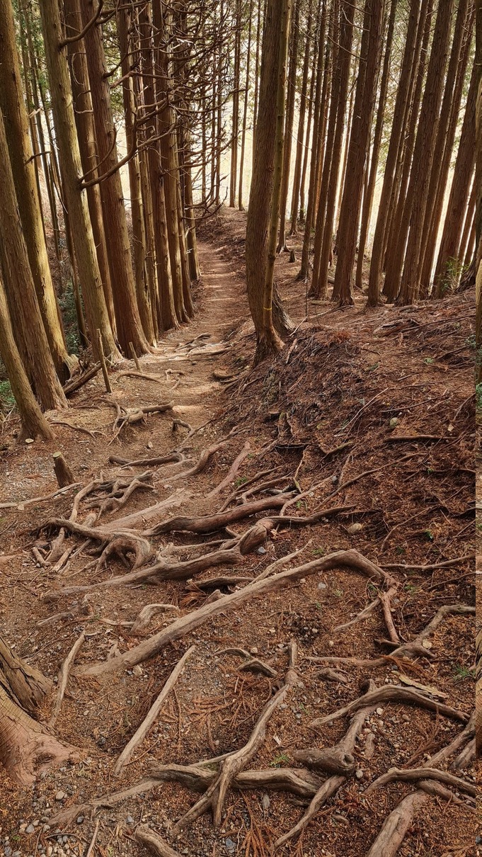
I walked to the side of these roots. It felt wrong, somehow, to tread on them.Someone sleeps here.Felt like I was being watched, like an actor in an amphitheater.
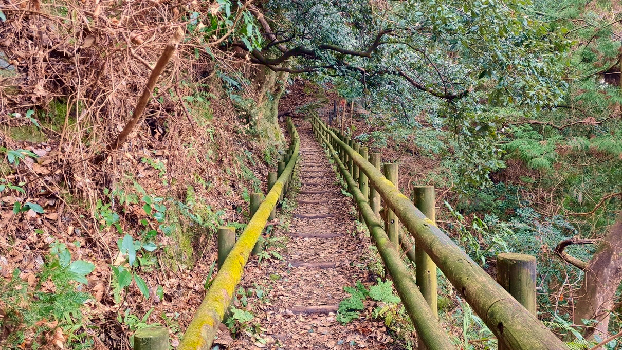
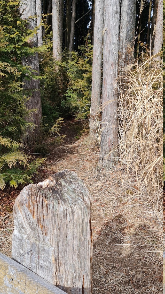
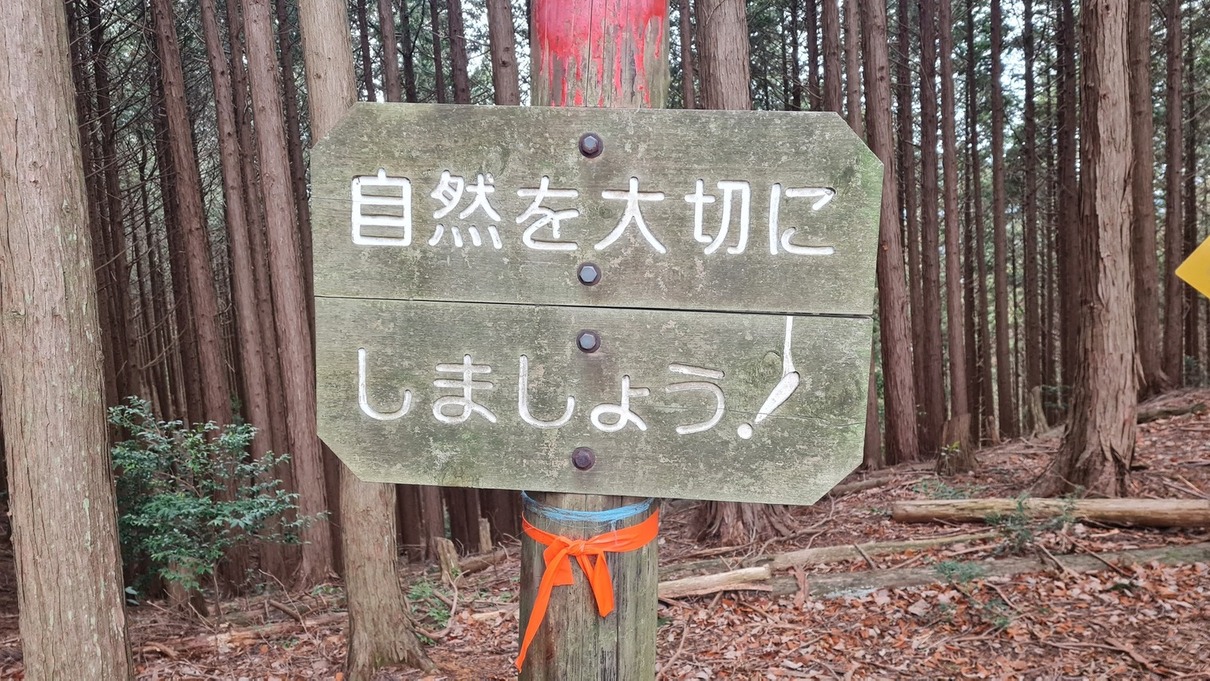
Up and away.A small side trail that didn’t lead anywhere.Let’s take care of nature!
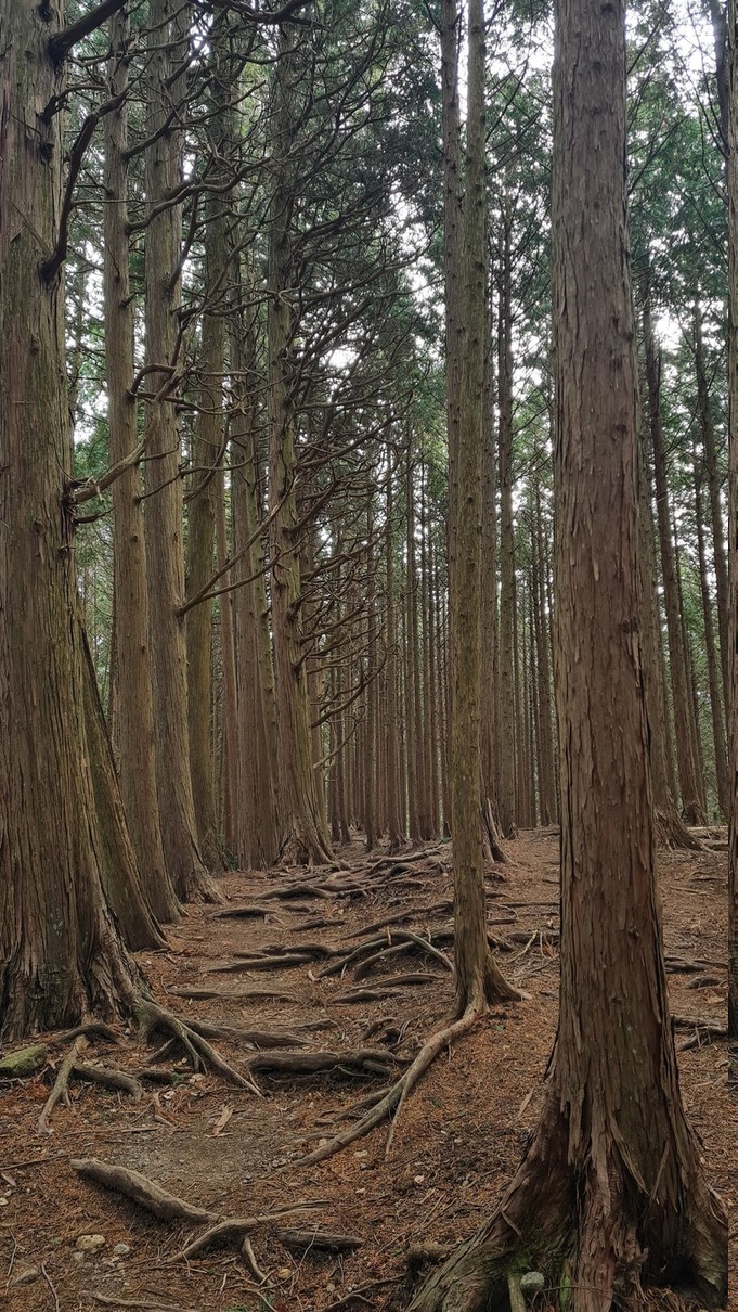
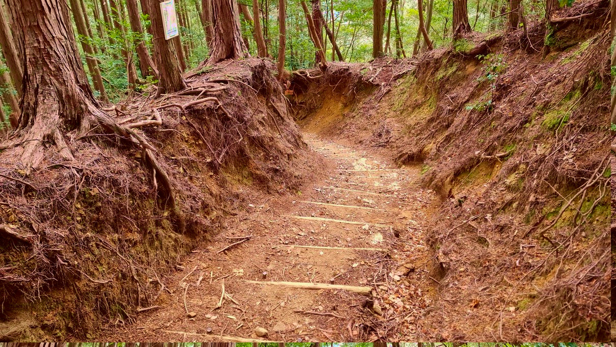
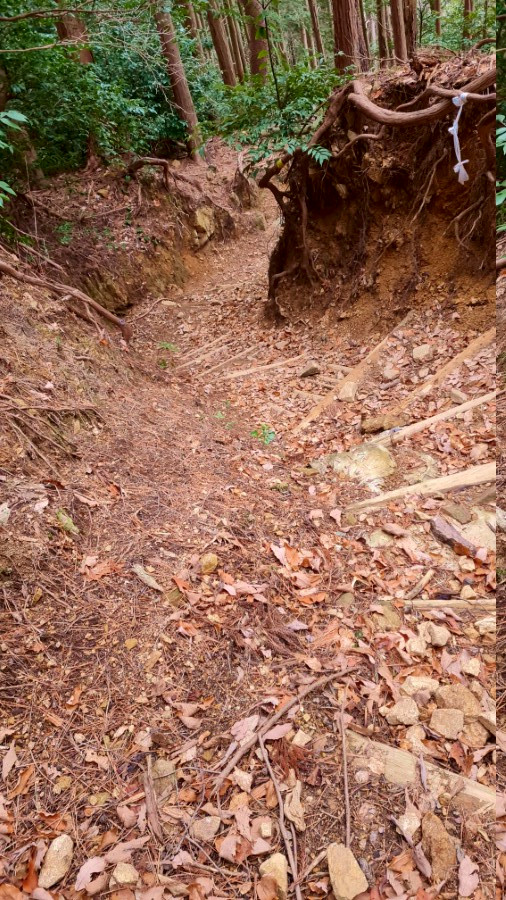
More roots…and more roots. I wonder how much water/carbon/etc these thick, reaching roots take up versus the ones we can’t see.
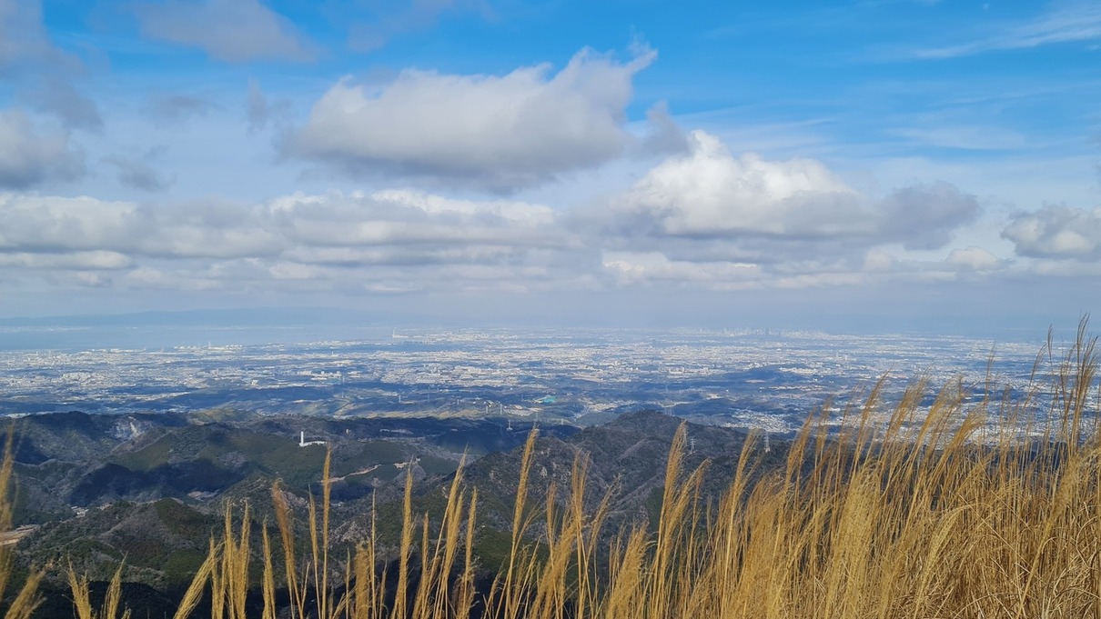
A false summit, just past a stairway that cuts through a field of tall grass.The real summit. Cloud shadows!! It’d been about two hours exactly.
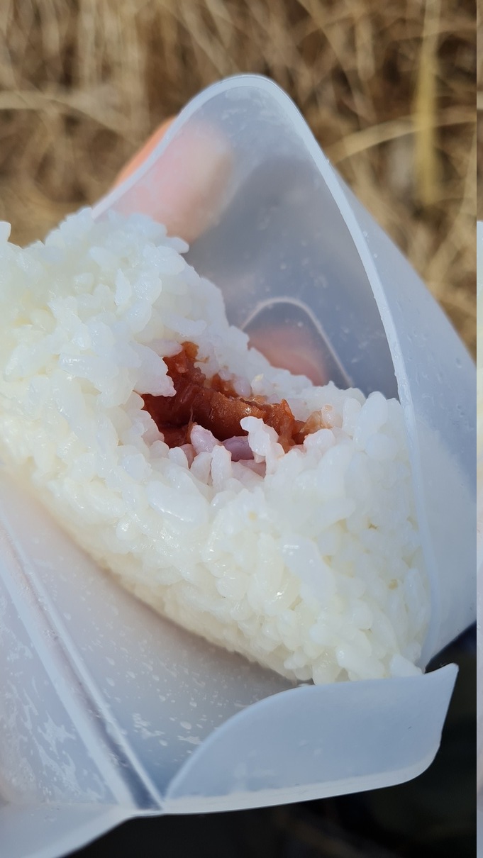
Umeboshi (pickled plum) onigiri for lunch.Lil map.
Another bathroom before we begin the descent.The descent which ACTUALLY begins with an ASCENT >.< please… my legs…Let’s go!
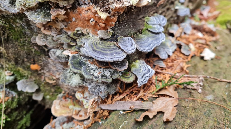
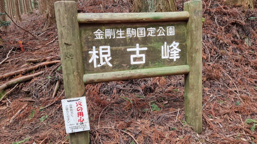
Itsutsutsuji markerTurkey tails!!Nekomine marker
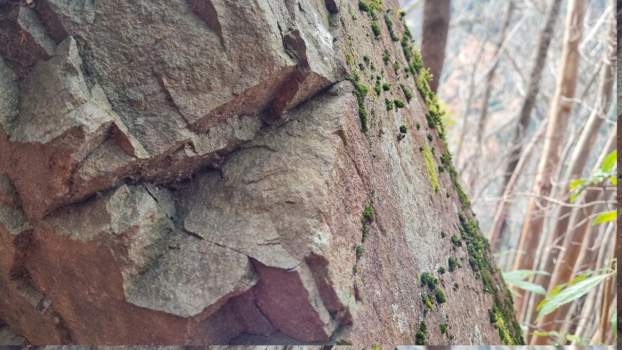
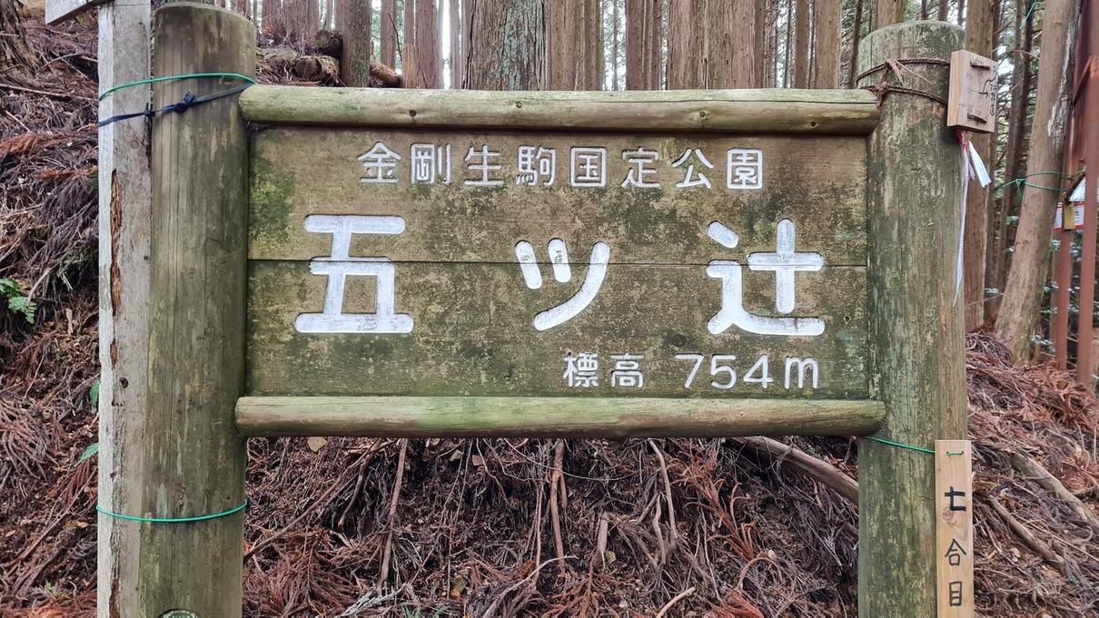
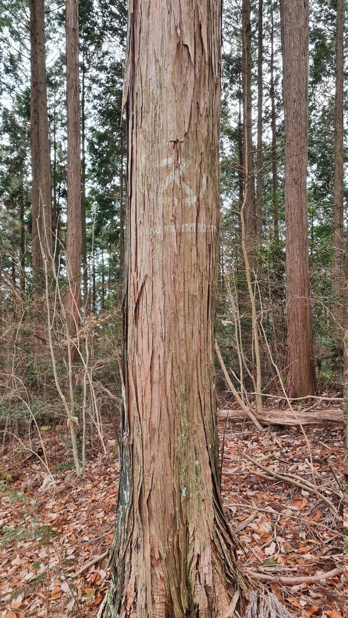
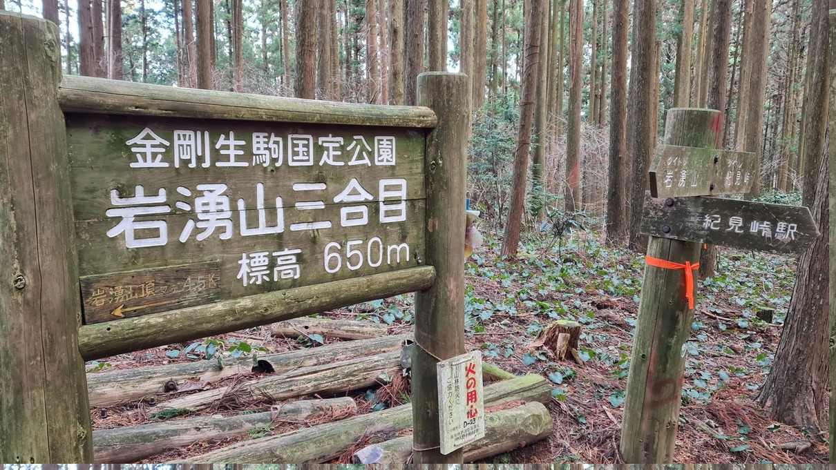
A faint ス (su) marks this as a cedar (sugi) tree.This was where my knees started complaining. I promise I’m young.Mt. Iwawaki Third Station marker
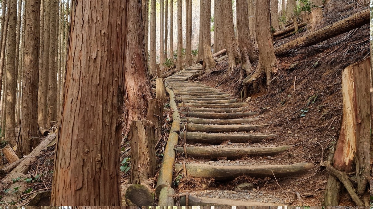
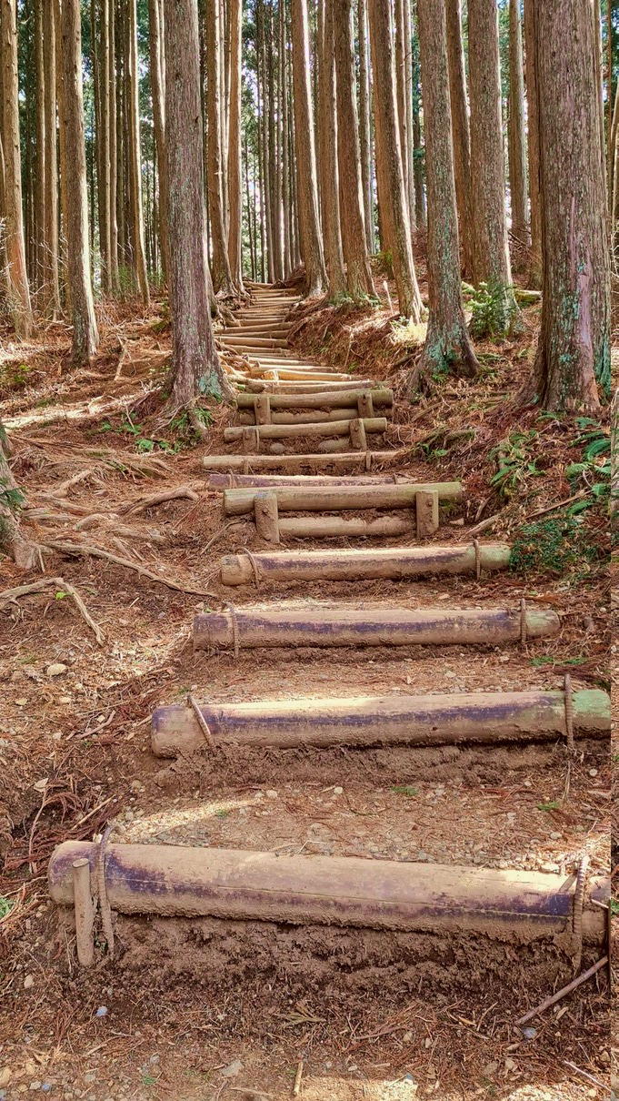
A very neat-looking but knee-busting bit of the descent.I wish I had a sled or something.
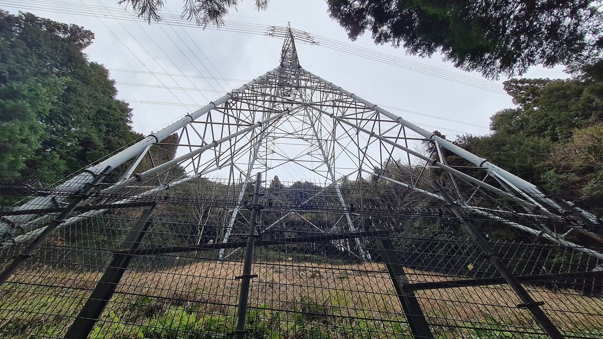
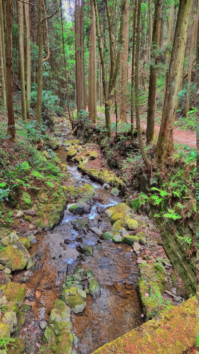
A few electric towers like this one dotted the trail. You could hear the crackle of electricity from the ground.A creek near the trail’s end.
Made it to the end! Clocked in at about 3.5 hours? I was just happy the onsen was still open.Some lunch before a dip in the onsen (bath) at Resort & Spa Kiimiso. It was really quiet; I had the onsen all to myself!